Beijing launches new high-tech satellite to ‘protect interests’ in South China Sea dispute

Beijing has put the contested waters of the South China Sea under ever-closer surveillance, launching a new high-resolution satellite. It will help the country “safeguard its maritime rights and interests,” researchers behind the project say.
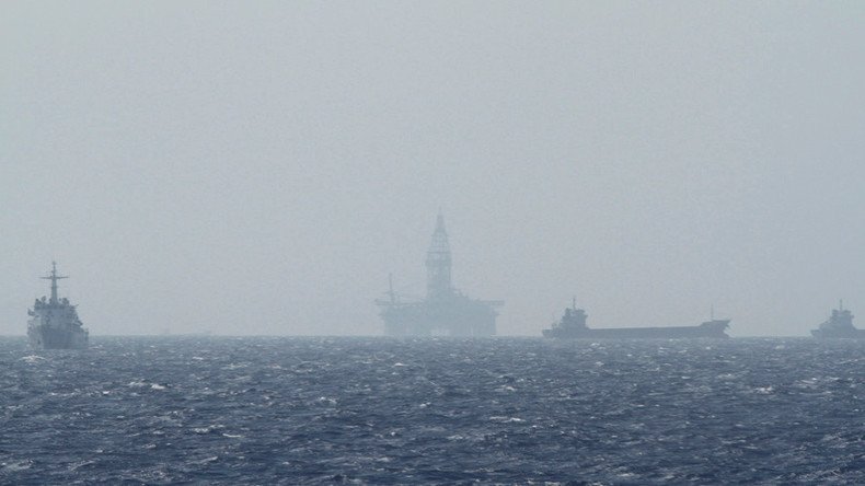
“The satellite will play an important role in monitoring the marine environment, islands and reefs, and ships and oil rigs,” the official China Daily newspaper reported, citing Xu Fuxiang, Gaofen 3 satellite project leader at the Academy of Space Technology in Beijing.
Launched on August 10, the Gaofen 3 high-resolution Earth observation satellite is equipped with a radar system that is able to capture images from space with a resolution down to 1 meter, making intelligence gathering ever more precise. The satellite works around the clock and has 12 imaging modes, making it capable both of taking wide pictures of the Earth and capturing detailed pictures of specific areas 24/7.
In addition, the Gaofen 3 can generate radar images under any weather conditions and has a designed service life of eight years. The satellite’s chief designer, Liu Jie, claimed the new satellite is the best of its kind in the world in terms of technology and imaging mode.
“Satellites like the Gaofen 3 will be very useful in safeguarding the country's maritime rights and interests,” Xu Fuxiang stressed, noting the length of the country’s coastline (some 32,000km), it’s territorial seas (around 380,000 sq km) and numerous islands.
The satellite may also help Beijing defend its interests in the debate over South China Sea, which involves the Spratly and the Paracel Islands. Beijing has long had territorial claims to the islands, which in part overlap similar claims by the Philippines, Vietnam and Taiwan, while China also has separate territorial disputes in the area with Malaysia and Brunei.
China has repeatedly claimed sovereignty over particular islands and reefs and their adjacent waters in the South China Sea and has taken steps to protect them, even after the Hague’s Arbitration Court waved Beijing’s claims to some of the islands disputed by the Philippines – a decision China has refused to recognize. For instance, last week China carried out a combat air patrol over the contested islands. Beijing has also been building airstrips and military installations on several reefs and islands in the disputed waters.
READ MORE: Beijing sends bombers, fighter jets on combat patrols over contested S. China Sea
China, however, has not been alone in building on parts of the South China Sea. Citing officials, Reuters reported this week that Vietnam has been discreetly moving new rocket launchers to several of its islands in the South China Sea, which could damage Chinese military installations. Vietnam’s Foreign Ministry denied the claim.
The US has also involved itself in the dispute, dispatching warships and military planes to the immediate proximity of the disputed islands and conducting military drills in the region – all while claiming this is done to ensure the principles of freedom of navigation in international waters.
Beijing has repeatedly slammed the US involvement as a provocation and the “greatest” threat to the region, accusing it of putting on a show of force by increasing its military strength and that of its allies in the region.


